Alaska is adding more aviation weather cameras. That matters because in a state where mountains, fog, icing, and fast-changing weather can turn a routine...
Alaska is adding more aviation weather cameras. That matters because in a state where mountains, fog, icing, and fast-changing weather can turn a routine flight into a bad bet, a camera feed can be the difference between a smart go/no-go call and a costly mistake. This is not a miracle fix. It is a practical tool, and in Alaska, practical tools save time, fuel, and lives.
Key Takeaways
- Aviation weather cameras give pilots real-time visual checks of conditions at remote sites.
- Alaska’s geography makes standard forecasts only part of the picture.
- The new cameras should help with flight planning, safety, and weather decision-making.
- Cameras do not replace METARs, forecasts, or pilot judgment.
- The real gain is better information for general aviation, air taxis, medevac crews, and rural communities.
What is Alaska’s aviation weather camera network?
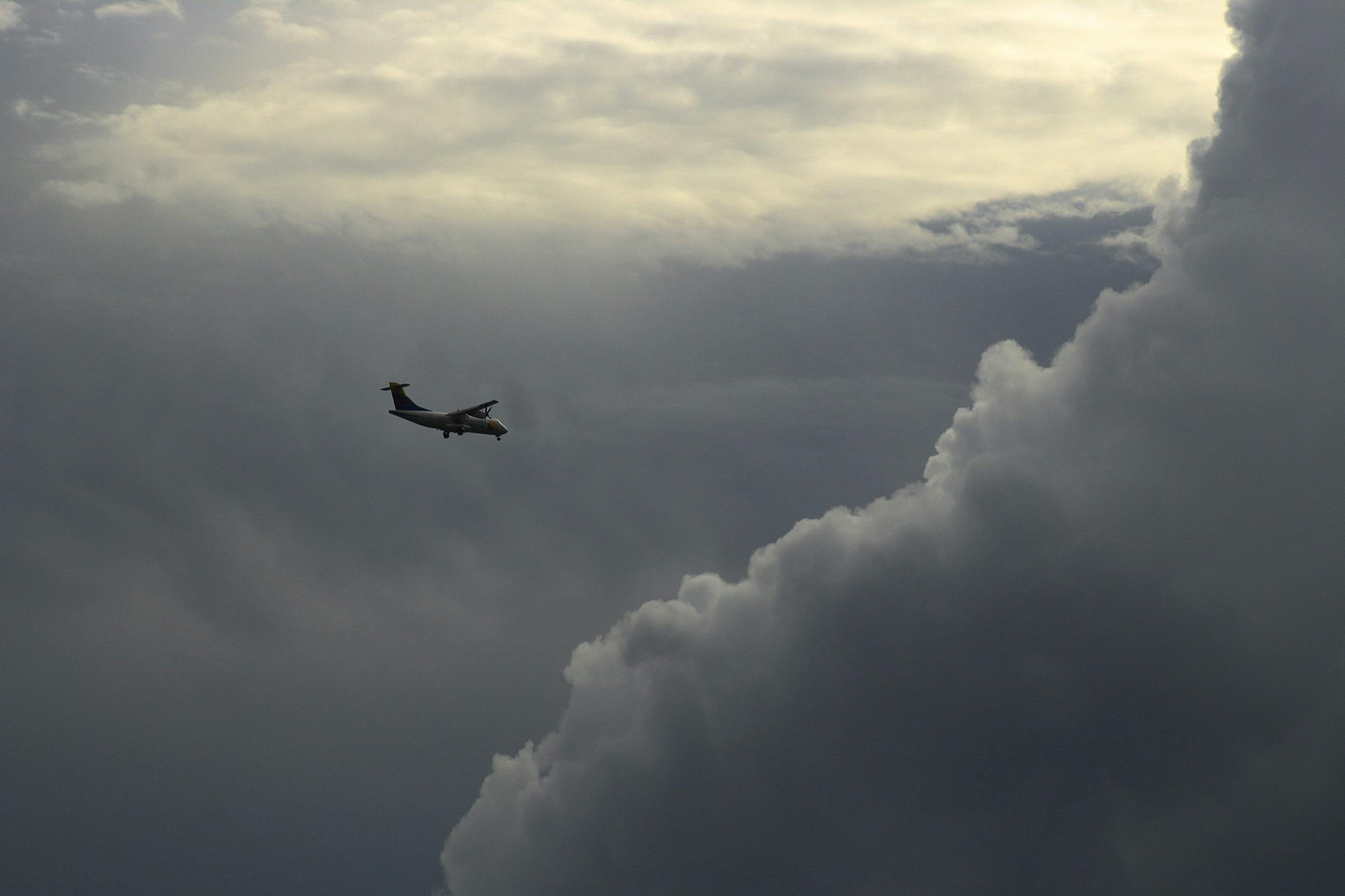
It is a system of remote cameras aimed at the sky, terrain, and airport approaches, giving pilots a live look at weather conditions where radar and surface stations may be thin or absent. In plain English, it lets people see what is actually out there, not just what a forecast says might be there. That distinction matters in Alaska more than almost anywhere else in the United States.
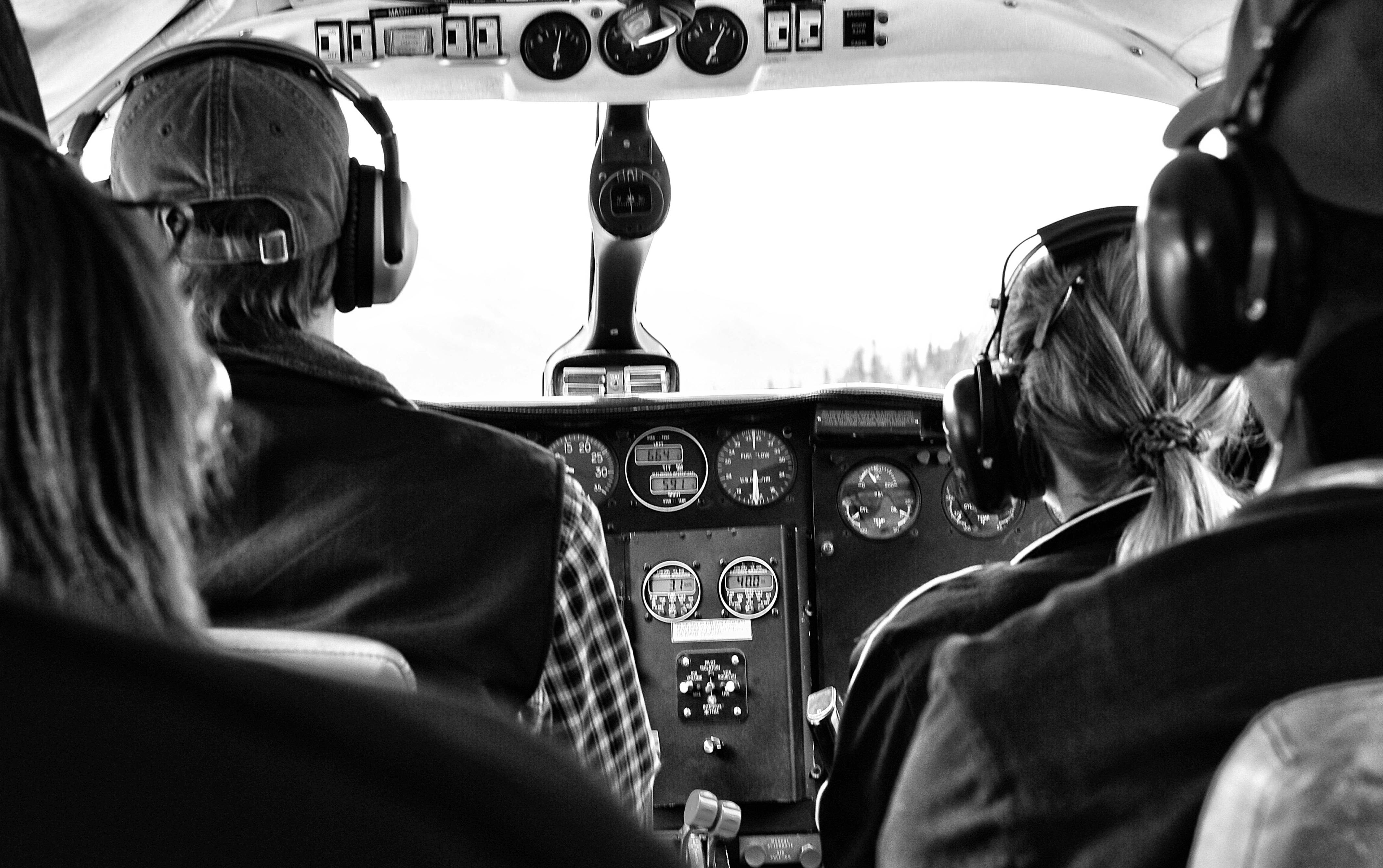
I’ve covered enough weather and infrastructure stories to know the difference between theory and field use. Forecasts are useful. Models are useful. But pilots do not take off into a model. They take off into reality, and reality in Alaska can be ugly: low cloud ceilings, snow squalls, coastal fog, wind shear, icing, and terrain that leaves little room for error. That is why aviation weather cameras have earned a place in the toolbox.
The cameras support the judgment of pilots, dispatchers, flight service specialists, and emergency responders. They are especially useful in places where installing and maintaining full weather stations is hard, expensive, or both. A camera at a pass, valley, airport, or coastal approach can show whether the ceiling is lifting, whether visibility is acceptable, or whether a mountain route is still socked in.
Frankly, this is how public infrastructure should work: practical, local, and aimed at the common good. Not flashy. Not overhyped. Just useful. Aviation in Alaska is not a side issue; it is often the highway system. Rural schools, medical care, freight, and family travel all depend on safe air access. That gives weather technology a moral weight, not just a technical one.
The Alaska Aviation Weather Camera Program has been used for years as part of broader flight planning, and the expansion means more locations, more coverage, and fewer blind spots. For readers tracking transportation and state infrastructure, this is the same basic logic behind other weather and safety investments, whether it is airport modernization, road maintenance, or better emergency communications. You can see the same theme in coverage of Alaska transportation and infrastructure, which often comes down to whether the state can make remote travel less risky and less arbitrary.
Core details and context
The new cameras are not being added because someone had a clever brainstorm in a conference room. They are being added because Alaska’s operating conditions demand them, and because the margin for error is small. When I looked at the pattern, the point was obvious: the value is not in the gadget itself, but in what it changes on the ground—or rather, in the cockpit.
Here is the practical context:
- Alaska’s terrain is unforgiving. Mountains, fjords, glaciers, and long distances make detours expensive and dangerous.
- Weather changes fast. A pass can be clear one hour and obscured the next.
- Radar coverage is limited in remote areas. That leaves gaps that cameras can help fill.
- Small aircraft dominate much of the system. General aviation and air taxis rely on quick, local calls.
- Visual confirmation matters. A live image can confirm whether a route is usable.
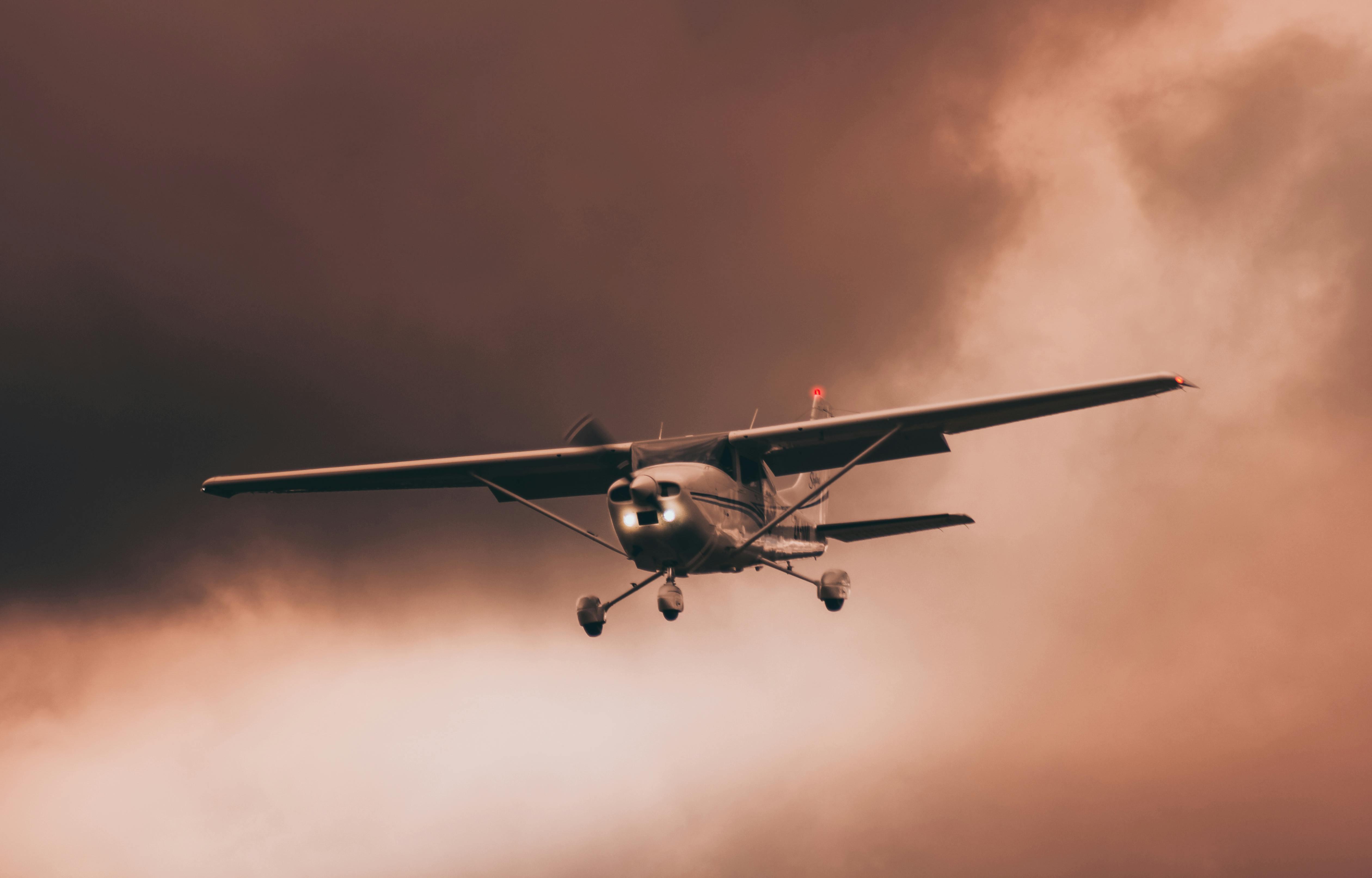
Most news coverage treats this kind of upgrade as a bland “technology improvement.” That misses the real story. This is a decision-support tool for people making expensive, time-sensitive, and sometimes life-or-death calls. A medevac pilot deciding whether to launch is not looking for marketing copy. A bush pilot hauling freight is not asking for a slogan. They want to know whether the ceiling is there, whether the mountains are visible, and whether the weather is stable enough to proceed.
The business side is not trivial either. Delays in Alaska are expensive. A canceled flight can strand cargo, interrupt tourism, and cut off communities that depend on air access for medicine and groceries. Better weather visibility can reduce wasted fuel and unnecessary cancellations. That matters in a state where every operational hour has to pull its weight.
For readers following how weather, transport, and public systems connect, this is similar in spirit to recent coverage of Alaska public safety and transport updates, because the point is not the equipment alone. It is the human use of the equipment. The dignity of work shows up here too: pilots, mechanics, dispatchers, and weather observers all depend on reliable information to do their jobs well.
A few details matter more than the usual shiny talking points:
- Camera sites are chosen for strategic geography.
- Feeds are most valuable where local observation is otherwise sparse.
- Users need reliable access to images, not just more hardware.
- Maintenance in harsh weather is part of the cost, and nobody should pretend otherwise.
The truth is, infrastructure only counts when it keeps working after the ribbon-cutting. Alaska has a long memory for projects that look good on paper and fail in sleet. If this rollout is done well, it should quietly improve decision-making for years.
Timeline and what actually happened
This story did not begin on Tuesday, April 28, 2026. It began years earlier, when Alaska and federal aviation partners started using camera networks to reduce weather uncertainty at remote sites. The latest expansion is another step in that longer pattern of trying to make air travel less blind.
- Early rollout of camera-based weather observation
Alaska began building out aviation weather camera coverage to give pilots live views of remote routes and airports. The idea was simple: if you cannot put a full weather station everywhere, put eyes where they matter most.
- Operational adoption by pilots and dispatchers
The cameras became part of everyday flight planning. Pilots used them to check ceilings, visibility, and terrain exposure before launching. That is where the system proved itself. Not in press releases. In real flights.
- Expansion planning
As demand for better weather data grew, agencies identified additional sites that would close gaps in coverage. This is the sort of work that rarely gets applause, but it prevents bad days.
- Announcement of new cameras
Alaska is now set to receive a slew of additional aviation weather cameras. That means broader coverage across more routes, passes, and communities, especially where weather can hide behind ridges or roll in from the coast without much warning.
- Implementation and integration
The next phase is the one that counts. Hardware has to be installed, power and communications have to hold up, and pilots have to be able to find and trust the feeds. That sounds basic because it is basic. Basic things are often the hardest to do consistently in the far North.
Here is the kicker: the value comes not when the weather is good, but when it is bad enough to force a hard decision. Cameras do not make weather safer. They make weather more visible. That is a real distinction.
I’ve seen enough public-sector tech rollouts to be wary of the “more is better” school of thought. More cameras are only better if they cover the right places, stay online, and are easy to access. A cluttered system with dead feeds helps nobody. A smaller, dependable network can beat a bigger, fragile one.
For the broader aviation context, readers may also want to compare this with coverage of Alaska aviation policy and weather-related transportation planning. Those issues all connect through the same hard fact: in Alaska, weather is not background noise. It is a deciding force.
Comparison table: aviation weather cameras vs. traditional weather tools
| Tool | Main strength | Main weakness | Best use case | Alaska value |
|---|
| Aviation weather cameras | Live visual confirmation | Limited to line of sight | Checking passes, airports, and terrain | Very high in remote, mountainous areas |
| METAR/TAF reports | Standardized aviation weather data | Sparse in remote locations | Airport conditions and forecasts | High, but coverage gaps remain |
| Radar | Broad storm tracking | Coverage gaps and terrain blockage | Tracking precipitation and larger systems | Useful, but not enough alone |
| Satellite imagery | Wide-area weather patterns | Less detail at ground level | Regional trend analysis | Helpful, but not route-specific |
| Pilot reports (PIREPs) | Real-world observations from aircraft | Inconsistent timing and location | In-flight confirmation | Valuable, but depends on traffic |
The table shows the point plainly. Cameras are not the whole system. They are one piece. But in Alaska, they are a piece with outsized value because the other tools are incomplete in the places that matter most.
Everyone talks about “data-driven decision-making.” Fine. But data is only as useful as the conditions it covers. A forecast for a broad region does not always tell you whether a strip in the hills is usable right now. A camera might.
That is why this is not just a tech story. It is an aviation safety story, a rural access story, and a stewardship story. Good public systems use limited resources wisely. They don’t pretend every problem needs a grand solution. Sometimes the best answer is a camera on a pole, pointed at the right mountain pass.
Common misconceptions and what to know
The biggest misconception is that aviation weather cameras somehow replace judgment. They do not. They reduce uncertainty. That is all, and that is enough. Human prudence still matters. In fact, the better the data gets, the more responsibility rests on the person making the call.
Another myth is that more technology automatically means better outcomes. Not true. If a camera feed is delayed, poorly maintained, or hard to interpret, it becomes clutter. Alaska does not need more clutter. It needs dependable tools that work in cold weather, ice, wind, and darkness.
A third misconception is that these cameras help only pilots. Wrong. They help medevac teams, cargo operators, airport managers, air taxi companies, state agencies, and even passengers who need to know whether a trip will happen. Rural residents benefit indirectly when flights are less likely to be canceled without warning and freight schedules are less chaotic.
Let’s be real: the modern news habit is to treat every infrastructure upgrade like a revolution. It is not. Most progress is unglamorous. But unglamorous progress is usually the kind that actually sticks. That is where the real work lives.
There is also a moral dimension that gets ignored. Safe aviation in Alaska is not merely a convenience for travelers. It supports medical care, food delivery, family ties, and the basic dignity of communities separated by distance. A system that helps people move safely through harsh weather reflects a simple principle: people matter more than machinery, and public resources should serve the common good.
Common misconceptions worth clearing up:
- “Cameras are only for sunny-day planning.” No, they are most useful when weather is marginal.
- “They remove risk.” No technology removes risk in Alaska. It only makes risk easier to assess.
- “Forecasts are enough.” Not always. The gap between forecast and reality can be wide.
- “If one feed fails, the whole system fails.” Not if the network is built correctly. Redundancy matters.
I’ve spent years watching people mistake convenience for certainty. That habit gets expensive fast. In aviation, it can get worse than expensive. The new cameras are a reminder that prudence is not old-fashioned. It is how you keep moving without pretending the weather cares about your schedule.
For related reporting, see Alaska aviation weather coverage, which helps explain why visual confirmation is such a practical tool in the state’s flight network.
Frequently asked questions
What are aviation weather cameras used for in Alaska?
They provide live images of weather and visibility at airports, passes, and remote routes so pilots can make better go/no-go decisions.
Do the cameras replace official weather reports?
No. They supplement METARs, TAFs, satellite data, radar, and pilot judgment. They are one tool in a larger system.
Why are these cameras especially important in Alaska?
Because Alaska has long distances, sparse weather stations, mountain terrain, and fast-changing conditions that make local visual confirmation especially valuable.
Who benefits from the camera network besides pilots?
Medevac crews, air taxis, cargo operators, airport staff, dispatchers, and rural communities that depend on reliable air service.
The new aviation weather cameras are not a headline-grabbing miracle, and that is precisely why they matter. They are the kind of steady, useful improvement that makes a hard place a little less unforgiving. Alaska will still have bad weather. It will still have ice, fog, and routes that demand respect. But more cameras mean more eyes on the sky, and more eyes mean better judgment.
That is how public investment should work: not by promising the impossible, but by serving people well where they actually live and work. In a state built on distance and resilience, that kind of stewardship is no small thing.